by Sam | Oct 22, 2026 | Raster Datasets, Raster Rendering
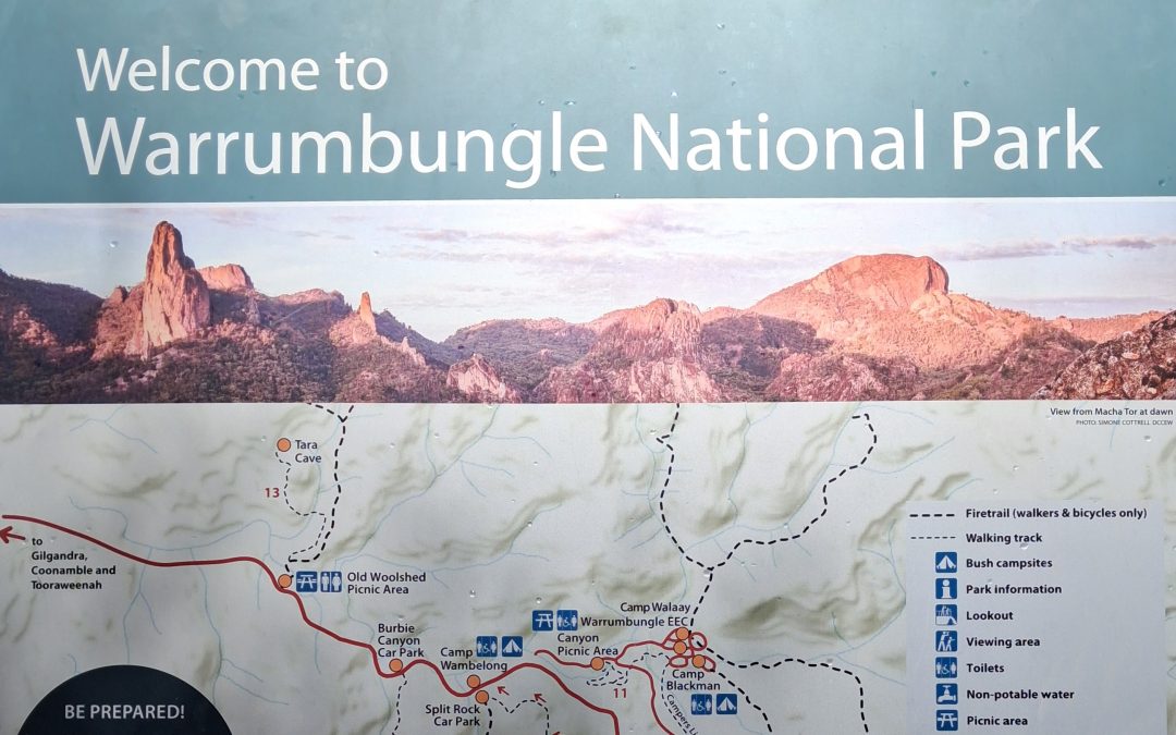
Warrumbungles LiDAR Processing and Mapping Introduction The world was mapped by surveyors, and the results are accessible to everyone via Google Maps and similar webmap imagery. But new surveying techniques like LiDAR and photogrammetry are uncovering topographic...
by Sam | Nov 7, 2025 | Raster Datasets, Raster Rendering
Follow this tutorial to learn how to use the Raster Time Sequence, Time Differential, and Change Matrix processing operations in ProRaster Scientific. The tutorial uses the freely available Annual NLCD land cover product for the USA.
by Sam | Aug 13, 2023 | Raster Concepts, Raster Datasets, Raster Rendering
NDVI Change Analysis at Coorabulka Station ProRaster Scientific 2022 – 2023 I used ProRaster Scientific to quantify the spatial and temporal changes in vegetation over a year at a large outback cattle station in Australia called Coorabulka. Coorabulka...
by Sam | Aug 13, 2023 | Raster Concepts, Raster Datasets, Raster Rendering
Wooroloo, Western Australia 2021 Bushfire Analysis using ProRaster Scientific In February 2021 a fast-moving bushfire burned from Wooroloo in the foothills to the east of Perth, west for 26 kilometres right to the edge of Greater Perth. The Wooroloo fire destroyed at...
by Sam | Aug 12, 2023 | Raster Concepts, Raster Datasets, Raster Rendering, Uncategorized
Tjoritja (West MacDonnell Ranges) National Park 2023 Bushfire Analysis using ProRaster Scientific In March 2023 a large uncontrolled bushfire burned through much of the Tjoritja (West MacDonnell Ranges) National Park. The park is located in Central Australia to the...
by Sam | Apr 9, 2022 | Raster Concepts, Raster Datasets, Raster Rendering
Exploring MERIT Hydro : Global Hydrogeography Rasters in ProRaster MERIT Hydro is a set of six global scale hydrogeography rasters prepared by the Global Hydrology Group at The University of Tokyo. The group is headed by Dai Yamazaki. In this series of three videos, I...